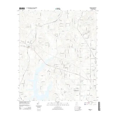
2014 Map of Semmes
USGS Topo · Published 2014About this map
Big Creek Lake dominates the central landscape of this western Mobile County region, providing a significant water resource and a focal point for the surrounding geography. To the east, the community of Semmes serves as a primary hub, while smaller named settlements like Wilmer, Fairview, Warley, and Lott are scattered across the terrain. The area is marked by a dense network of local roads and creek systems, including Big Cr, Red Cr, and Juniper Cr.
Find a feature on this map
172 named features on this map. Tap any name to fly to it.
Don’t see what you’re looking for? This feature index may not catch every label — zoom into the map to look around manually.
Map Details
Editions of this 2014 Semmes Map
This is the sole edition of this map. No revisions or reprints were ever made.
Other maps of this area

1922 · Mobile
USGS Topo · 1:62,500

1940 · Mobile
USGS Topo · 1:62,500

1941 · Hurley
USGS Topo · 1:62,500

1941 · Creola
USGS Topo · 1:62,500

1942 · Kushla
USGS Topo · 1:31,680

1942 · Wilmer
USGS Topo · 1:62,500

1943 · Creola
USGS Topo · 1:62,500

1943 · Hurley
USGS Topo · 1:62,500
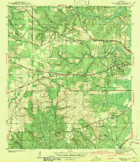
1943 · Spring Hill
USGS Topo · 1:31,680
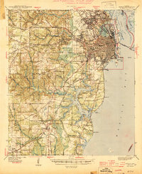
1944 · Mobile
USGS Topo · 1:62,500