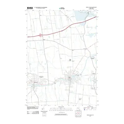
2010 Map of Seneca Falls
USGS Topo · Published 2010About this map
Seneca Falls and Waterloo serve as the primary hubs along the Seneca River corridor in this 2010 topographic record. The industrial and hydraulic heritage of the region is evident through the path of the Erie Canal and the presence of Van Cleef Lake. Settlement patterns are well-defined by numerous small junctions and communities such as Magee, Nichols Corners, and Lehigh Valley Junction.
Find a feature on this map
80 named features on this map. Tap any name to fly to it.
Don’t see what you’re looking for? This feature index may not catch every label — zoom into the map to look around manually.
Map Details
Editions of this 2010 Seneca Falls Map
This is the sole edition of this map. No revisions or reprints were ever made.
Other maps of this area

1899 · Auburn
USGS Topo · 1:62,500

1902 · Geneva
USGS Topo · 1:62,500

1902 · Clyde
USGS Topo · 1:62,500

1902 · Weedsport
USGS Topo · 1:62,500

1902 · Auburn
USGS Topo · 1:62,500

1943 · Lyons
USGS Topo · 1:31,680

1943 · Geneva North
USGS Topo · 1:31,680

1943 · Geneva South
USGS Topo · 1:31,680

1943 · Montezuma
USGS Topo · 1:31,680

1943 · Cayuga
USGS Topo · 1:31,680