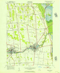
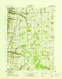
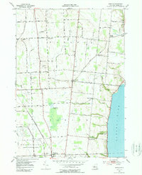
1943 Map of Seneca Falls
USGS Topo · Published 1954This historical map portrays the area of Seneca Falls in 1943, primarily covering Seneca County. Featuring a scale of 1:24000, this map provides a highly detailed snapshot of the terrain, roads, buildings, counties, and historical landmarks in the Seneca Falls region at the time. Published in 1954, it is one of 2 known editions of this map due to revisions or reprints.
Find a feature on this map
59 named features on this map. Tap any name to fly to it.
Don’t see what you’re looking for? This feature index may not catch every label — zoom into the map to look around manually.
Map Details
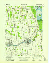
Editions of this 1943 Seneca Falls Map
2 editions found
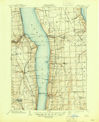
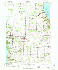
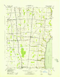
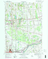
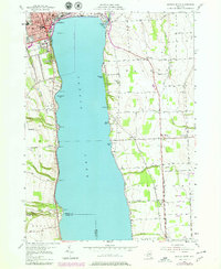
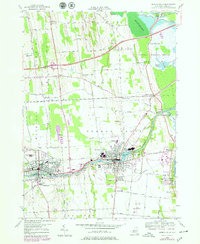
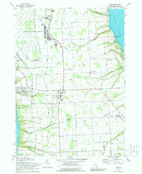
Historical Maps of Waterloo Through Time
13 maps found
1902 Ovid
Seneca County, NY

1942 Lodi
Seneca County, NY
1942 Ovid
Seneca County, NY

1943 Geneva North
Seneca County, NY

1943 Geneva South
Seneca County, NY
1943 Lodi
Seneca County, NY
1943 Romulus
Seneca County, NY
1943 Seneca Falls
Seneca County, NY
1953 Geneva North
Seneca County, NY
1953 Geneva South
Seneca County, NY
1953 Romulus
Seneca County, NY
1953 Seneca Falls
Seneca County, NY
1970 Ovid
Seneca County, NY