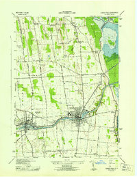
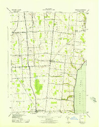
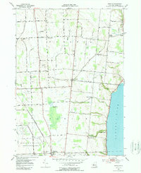
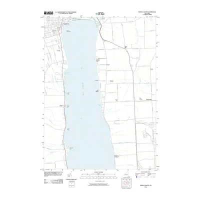
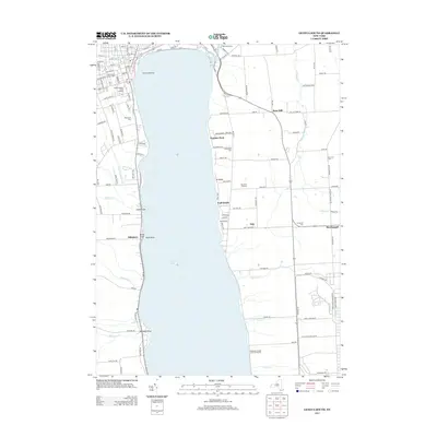
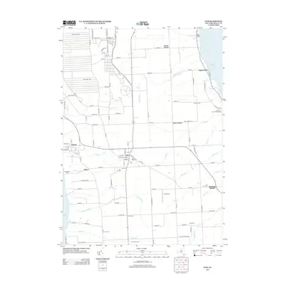
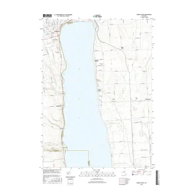
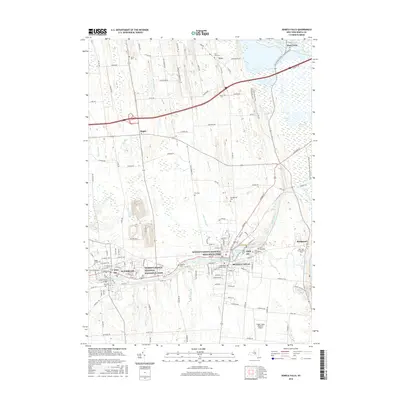
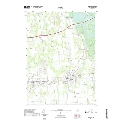
1943 Map of Seneca Falls
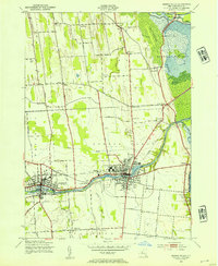
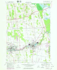
USGS Topo · Published 1954About this map
The industrial and transit-heavy landscape of Seneca Falls and Waterloo is documented in this 1943 survey, revealing the complex intersection of the Barge Canal and the Cayuga and Seneca Canal. As a major hub in the Finger Lakes region, the map shows the dense corridor of the New York Central and Lehigh Valley railroads as they navigate the wetlands of the Montezuma Marsh.
Find a feature on this map
52 named features on this map. Tap any name to fly to it.
Don’t see what you’re looking for? This feature index may not catch every label — zoom into the map to look around manually.
Map Details
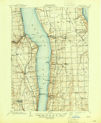
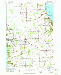
Editions of this 1943 Seneca Falls Map
2 editions found
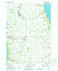
Historical Maps of Seneca Falls Through Time
43 maps found
1902 Ovid
Seneca County, NY

1942 Lodi
Seneca County, NY
1942 Ovid
Seneca County, NY

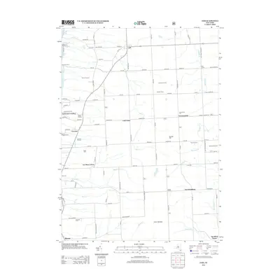
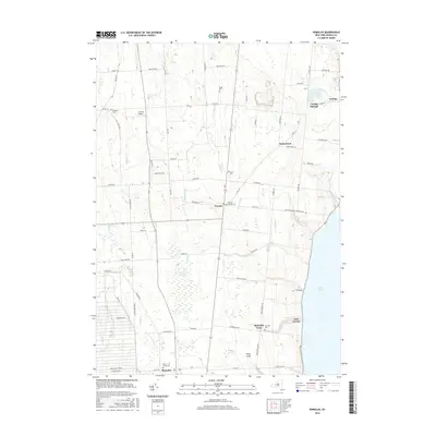
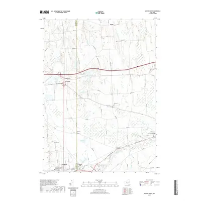
1943 Geneva North
Seneca County, NY

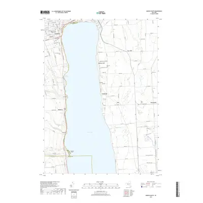
1943 Geneva South
Seneca County, NY
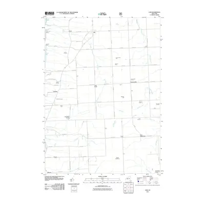
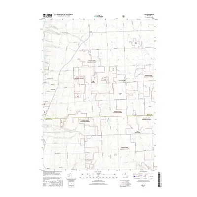
1943 Lodi
Seneca County, NY
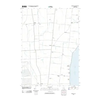
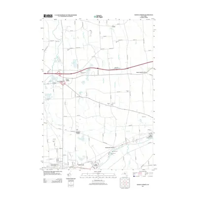
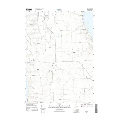
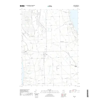
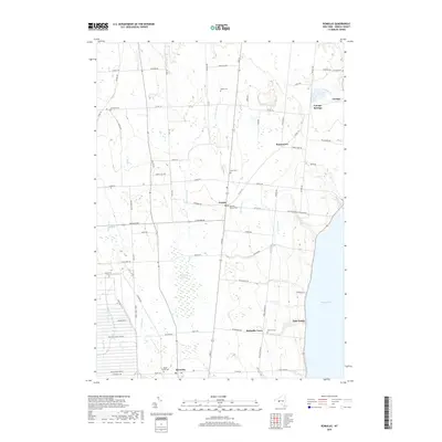
1943 Romulus
Seneca County, NY
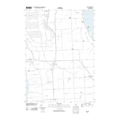
1943 Seneca Falls
Seneca County, NY
1953 Geneva North
Seneca County, NY
1953 Geneva South
Seneca County, NY
1953 Romulus
Seneca County, NY
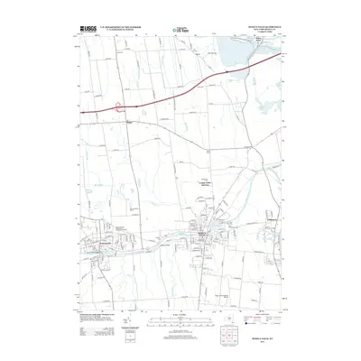
1953 Seneca Falls
Seneca County, NY
1970 Ovid
Seneca County, NY
2010 Geneva North
Seneca County, NY
2010 Geneva South
Seneca County, NY
2010 Ovid
Seneca County, NY
2010 Romulus
Seneca County, NY
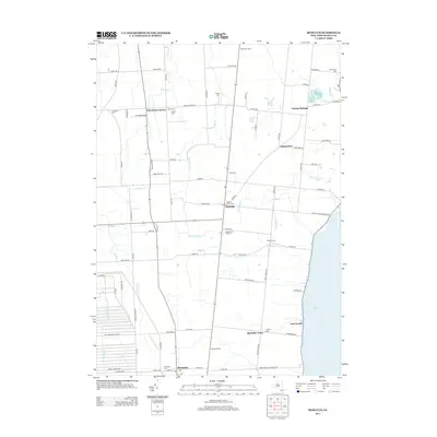
2010 Seneca Falls
Seneca County, NY
2011 Lodi
Seneca County, NY
2013 Geneva North
Seneca County, NY
2013 Geneva South
Seneca County, NY
2013 Lodi
Seneca County, NY
2013 Ovid
Seneca County, NY
2013 Romulus
Seneca County, NY
2013 Seneca Falls
Seneca County, NY
2016 Geneva North
Seneca County, NY
2016 Geneva South
Seneca County, NY
2016 Lodi
Seneca County, NY
2016 Ovid
Seneca County, NY
2016 Romulus
Seneca County, NY
2016 Seneca Falls
Seneca County, NY
2019 Geneva North
Seneca County, NY
2019 Geneva South
Seneca County, NY
2019 Lodi
Seneca County, NY
2019 Ovid
Seneca County, NY
2019 Romulus
Seneca County, NY
2019 Seneca Falls
Seneca County, NY

2023 Geneva North
Seneca County, NY

2023 Geneva South
Seneca County, NY

2023 Lodi
Seneca County, NY

2023 Ovid
Seneca County, NY

2023 Romulus
Seneca County, NY

2023 Seneca Falls
Seneca County, NY