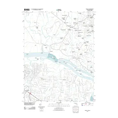
2011 Map of Seneca
USGS Topo · Published 2011About this map
The Potomac River corridor near the Maryland-Virginia border defines this landscape, anchored by the historical engineering of the Seneca Aqueduct and the nearby Seneca Quarry. The 2011 topography captures a transition from the dense residential developments of Darnestown and Quince Orchard to the preserved riverfront features like Rileys Lock and Blockhouse Point. Along the northern banks, the map tracks numerous named islands such as Watkins Island and Clagett Island, separated by the Seneca Breaks.
Find a feature on this map
193 named features on this map. Tap any name to fly to it.
Don’t see what you’re looking for? This feature index may not catch every label — zoom into the map to look around manually.
Map Details
Editions of this 2011 Seneca Map
This is the sole edition of this map. No revisions or reprints were ever made.
Other maps of this area

1890 · Mt. Vernon
USGS Topo · 1:125,000

1891 · Mt. Vernon
USGS Topo · 1:125,000

1893 · Frederick
USGS Topo · 1:125,000

1894 · Frederick
USGS Topo · 1:125,000

1894 · Mt. Vernon
USGS Topo · 1:125,000

1897 · Mt. Vernon
USGS Topo · 1:125,000

1900 · Washington
USGS Topo · 1:62,500

1908 · Rockville
USGS Topo · 1:62,500

1908 · Seneca
USGS Topo · 1:62,500

1915 · Fairfax
USGS Topo · 1:62,500