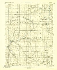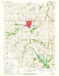
1966 Map of Seneca
USGS Topo · Published 1967About this map
Seneca serves as the focal point of this northeastern Kansas landscape, anchored by the Courthouse and the Union Pacific railroad lines. The mid-1960s community structure is highly visible, characterized by a concentration of civic and religious institutions including the Townhall, High Sch, and the dual presence of SS Peter and Paul Sch and the adjacent SS Peter and Paul Cem. Outside the city limits, the County Home and City Cem reflect the social and historical infrastructure of Richmond and Gilman townships.
Find a feature on this map
30 named features on this map. Tap any name to fly to it.
Don’t see what you’re looking for? This feature index may not catch every label — zoom into the map to look around manually.
Map Details
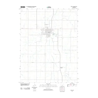
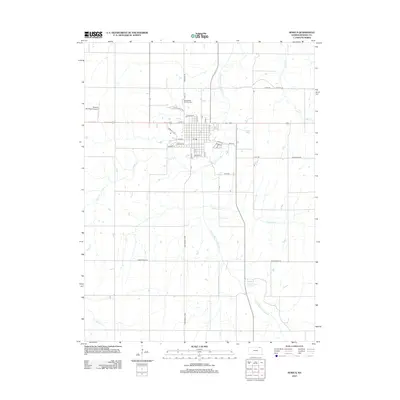
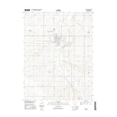
Editions of this 1966 Seneca Map
This is the sole edition of this map. No revisions or reprints were ever made.
Historical Maps of Seneca Through Time
8 maps found