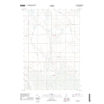
2019 Map of Seney NW
USGS Topo · Published 2019About this map
The waters of the E Br Fox River and the main channel of the Fox River dominate this interior landscape of the Upper Peninsula. To the north, The Reservoir and Carpenter Lake feed a complex hydrologic network that includes Haymeadow Cr and Snyder Cr. The presence of several ponds, such as Kings Pond and Clear Cr Trout Pond, suggests a region defined by managed waterways and conservation efforts.
Find a feature on this map
28 named features on this map. Tap any name to fly to it.
Don’t see what you’re looking for? This feature index may not catch every label — zoom into the map to look around manually.
Map Details
Editions of this 2019 Seney NW Map
This is the sole edition of this map. No revisions or reprints were ever made.
Other maps of this area

1931 · Seney SW
USGS Topo · 1:31,680

1931 · Seney NW
USGS Topo · 1:31,680

1931 · Driggs Lake NE
USGS Topo · 1:31,680

1931 · Seney SE
USGS Topo · 1:31,680

1931 · Driggs Lake SE
USGS Topo · 1:31,680

1954 · Sault Sainte Marie
USGS Topo · 1:250,000

1956 · Sault Sainte Marie
USGS Topo · 1:250,000

1957 · Sault Sainte Marie
USGS Topo · 1:250,000

1958 · Sault Sainte Marie
USGS Topo · 1:250,000

1958 · Marquette
USGS Topo · 1:250,000