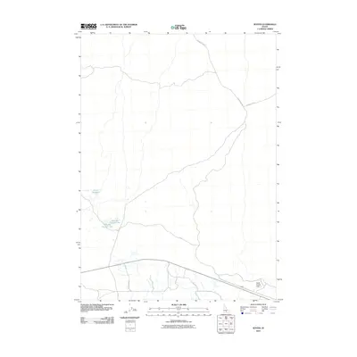
2010 Map of Senter
USGS Topo · Published 2010About this map
Senter anchors the southern portion of this Lincoln County survey, situated along a primary roadway and rail corridor that cuts through the high desert landscape. The terrain is defined by its sparse water resources and the infrastructure built to manage them, including the Corral Reservoir and the twin basins of Sid Lake Number One and Sid Lake Number Two. Further east, North Center Lake sits near the quadrangle boundary. The road network, including the Richfield-Sid Rd and the Shale Butte Rd, suggests a landscape organized around ranching and transport, with the specific Sid Road Xing marking a notable point of navigation in this open country.
Find a feature on this map
9 named features on this map. Tap any name to fly to it.
Don’t see what you’re looking for? This feature index may not catch every label — zoom into the map to look around manually.
Map Details
Editions of this 2010 Senter Map
This is the sole edition of this map. No revisions or reprints were ever made.
Other maps of this area

1954 · Pocatello
USGS Topo · 1:250,000

1955 · Idaho Falls
USGS Topo · 1:250,000

1955 · Twin Falls
USGS Topo · 1:250,000

1955 · Hailey
USGS Topo · 1:250,000

1958 · Twin Falls
USGS Topo · 1:250,000

1958 · Idaho Falls
USGS Topo · 1:250,000

1958 · Pocatello
USGS Topo · 1:250,000

1959 · Hailey
USGS Topo · 1:250,000

1962 · Hailey
USGS Topo · 1:250,000

1971 · Owinza
USGS Topo · 1:24,000