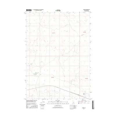
2017 Map of Senter
USGS Topo · Published 2017About this map
Senter stands as a primary point of reference in this high-desert landscape of Lincoln County, where water management defines the topography. The distribution of catchments like Antelope Reservoir and Corral Reservoir suggests a terrain shaped by the needs of livestock and regional hydrology. Further south, the clustered waters of Sid Lake Number One and Sid Lake Number Two mark a distinct low-lying area, while North Center Lake sits near the crossing of local corridors. These named water bodies are linked by a network of functional thoroughfares including Shale Butte Rd and Sid Rd, which traverse the wide township blocks of t5s r21e and t6s r21e. This 2017 survey documents the modern layout of rural infrastructure in a region where seasonal lakes and reservoirs remain vital landmarks.
Find a feature on this map
13 named features on this map. Tap any name to fly to it.
Don’t see what you’re looking for? This feature index may not catch every label — zoom into the map to look around manually.
Map Details
Editions of this 2017 Senter Map
This is the sole edition of this map. No revisions or reprints were ever made.
Other maps of this area

1954 · Pocatello
USGS Topo · 1:250,000

1955 · Idaho Falls
USGS Topo · 1:250,000

1955 · Twin Falls
USGS Topo · 1:250,000

1955 · Hailey
USGS Topo · 1:250,000

1958 · Twin Falls
USGS Topo · 1:250,000

1958 · Idaho Falls
USGS Topo · 1:250,000

1958 · Pocatello
USGS Topo · 1:250,000

1959 · Hailey
USGS Topo · 1:250,000

1962 · Hailey
USGS Topo · 1:250,000

1971 · Owinza
USGS Topo · 1:24,000