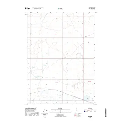
2020 Map of Senter
USGS Topo · Published 2020About this map
Corral Reservoir and Antelope Reservoir sit within the arid landscape of Lincoln County, where the management of water is central to the area's utility. This high-desert terrain is marked by a series of shallow basins and ephemeral water bodies, including Sid Lake Number One and Sid Lake Number Two in the southwest and North Center Lake to the southeast. The survey reveals a sparse network of infrastructure defined by long, straight access ways like Shale Butte Rd and Sid Rd, which facilitate movement across the vast townships of t5s r21e and t6s r21e. This pattern of isolated reservoirs and geometric road systems illustrates the systematic division of public land and the reliance on localized catchment systems in a region otherwise devoid of major rivers.
Find a feature on this map
12 named features on this map. Tap any name to fly to it.
Don’t see what you’re looking for? This feature index may not catch every label — zoom into the map to look around manually.
Map Details
Editions of this 2020 Senter Map
This is the sole edition of this map. No revisions or reprints were ever made.
Other maps of this area

1954 · Pocatello
USGS Topo · 1:250,000

1955 · Idaho Falls
USGS Topo · 1:250,000

1955 · Twin Falls
USGS Topo · 1:250,000

1955 · Hailey
USGS Topo · 1:250,000

1958 · Twin Falls
USGS Topo · 1:250,000

1958 · Idaho Falls
USGS Topo · 1:250,000

1958 · Pocatello
USGS Topo · 1:250,000

1959 · Hailey
USGS Topo · 1:250,000

1962 · Hailey
USGS Topo · 1:250,000

1971 · Owinza
USGS Topo · 1:24,000