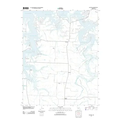
2011 Map of Sentinel
USGS Topo · Published 2011About this map
Pomme de Terre Lake dominates the northern landscape of this Polk County region, its irregular fingers reaching into the surrounding drainages. The settlement of Pittsburg sits near the eastern shore, while the smaller community of Sentinel is located further south along the high ground between Possum Creek and Lindley Creek. This 2011 survey reveals a rural landscape where family history is anchored by numerous burial sites, including Stewart Cemetery, Pitts Cemetery, and Chamberlain Cemetery.
Find a feature on this map
79 named features on this map. Tap any name to fly to it.
Don’t see what you’re looking for? This feature index may not catch every label — zoom into the map to look around manually.
Map Details
Editions of this 2011 Sentinel Map
This is the sole edition of this map. No revisions or reprints were ever made.
Other maps of this area

1884 · Bolivar
USGS Topo · 1:125,000

1892 · Bolivar
USGS Topo · 1:125,000

1942 · Elkton
USGS Topo · 1:24,000

1949 · Elkton
USGS Topo · 1:24,000

1949 · Sentinel
USGS Topo · 1:24,000

1950 · Elkton
USGS Topo · 1:24,000

1950 · Sentinel
USGS Topo · 1:24,000

1950 · Buffalo NW
USGS Topo · 1:24,000

1950 · Polk
USGS Topo · 1:24,000

1950 · Urbana
USGS Topo · 1:24,000