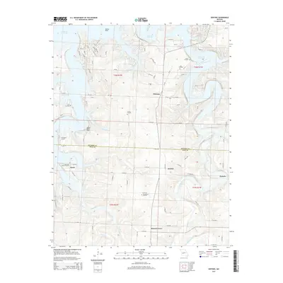
2015 Map of Sentinel
USGS Topo · Published 2015About this map
Pomme de Terre Lake dominates the northern landscape of this Missouri quadrangle, its irregular shoreline reaching into Dooley Bend and several creek inlets. The rugged topography of the Ozarks is evident in the steep relief around Negro Bend Bluff, while the southern half of the map reveals a more settled agricultural pattern. Small communities such as Pittsburg, Sentinel, and Adonis are connected by a network of rural roads that cross numerous waterways, including Lindley Creek and Stinking Cr. For local historians and genealogists, this map is particularly dense with burial grounds, featuring the Oak Grove Baptist Cemetery, Pitts Cemetery, and Antioch Cemetery, among others. The presence of Ski Harbor Airport near the lakeshore suggests the area's development as a recreational destination in the modern era.
Find a feature on this map
95 named features on this map. Tap any name to fly to it.
Don’t see what you’re looking for? This feature index may not catch every label — zoom into the map to look around manually.
Map Details
Editions of this 2015 Sentinel Map
This is the sole edition of this map. No revisions or reprints were ever made.
Other maps of this area

1884 · Bolivar
USGS Topo · 1:125,000

1892 · Bolivar
USGS Topo · 1:125,000

1942 · Elkton
USGS Topo · 1:24,000

1949 · Elkton
USGS Topo · 1:24,000

1949 · Sentinel
USGS Topo · 1:24,000

1950 · Elkton
USGS Topo · 1:24,000

1950 · Sentinel
USGS Topo · 1:24,000

1950 · Buffalo NW
USGS Topo · 1:24,000

1950 · Polk
USGS Topo · 1:24,000

1950 · Urbana
USGS Topo · 1:24,000