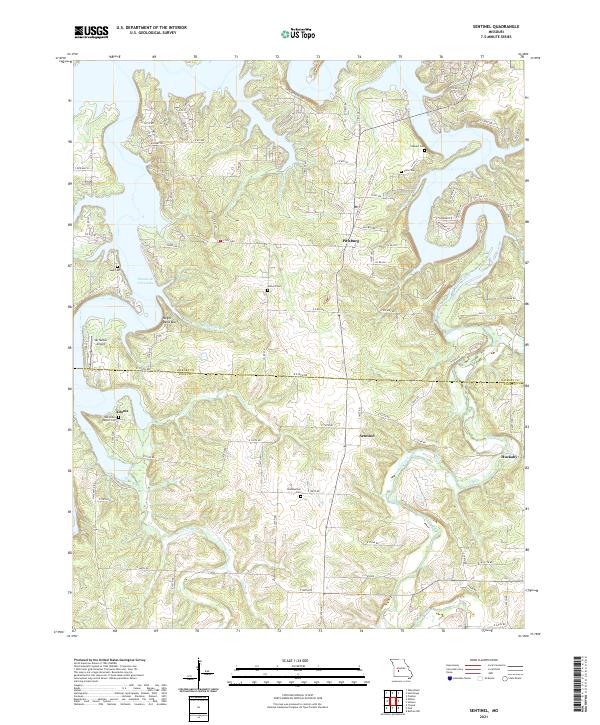
2021 Map of Sentinel
USGS Topo · Published 2021About this map
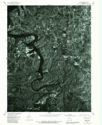
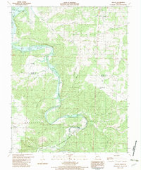
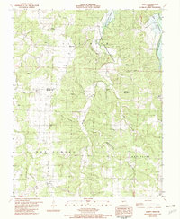
Pomme de Terre Lake dominates the northwest quadrant of this area, its irregular fingers reaching into the surrounding Ozark hills. Small communities like Pittsburg and Sentinel serve as local hubs, while smaller crossroads such as Adonis and Huckaby are identified by clusterings of local roads. The landscape is deeply carved by a network of drainage ways, including Lindley Creek, Stinking Cr, and Possum Cr, which feed into the larger reservoir system.
Find a feature on this map
98 named features on this map. Tap any name to fly to it.
Don’t see what you’re looking for? This feature index may not catch every label — zoom into the map to look around manually.
Map Details
Editions of this 2021 Sentinel Map
This is the sole edition of this map. No revisions or reprints were ever made.
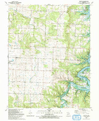
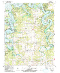
Historical Maps of Sentinel Through Time
17 maps found

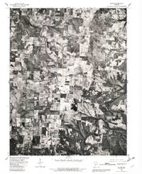
1942 Elkton
Hickory County, MO
1949 Elkton
Hickory County, MO
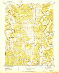
1949 Sentinel
Hickory County, MO

1950 Elkton
Hickory County, MO
1950 Sentinel
Hickory County, MO
1980 Elkton
Hickory County, MO
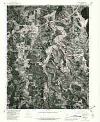
1980 Fristoe
Hickory County, MO
1980 Quincy
Hickory County, MO

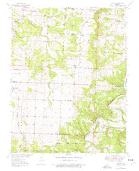
1980 Sentinel
Hickory County, MO
1982 Fristoe
Hickory County, MO
1982 Quincy
Hickory County, MO
1991 Elkton
Hickory County, MO
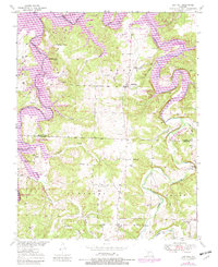
1991 Sentinel
Hickory County, MO
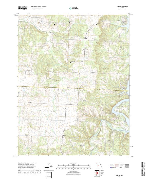
2021 Elkton
Hickory County, MO
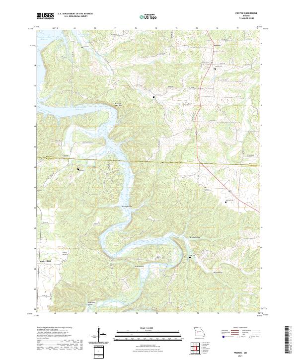
2021 Fristoe
Hickory County, MO
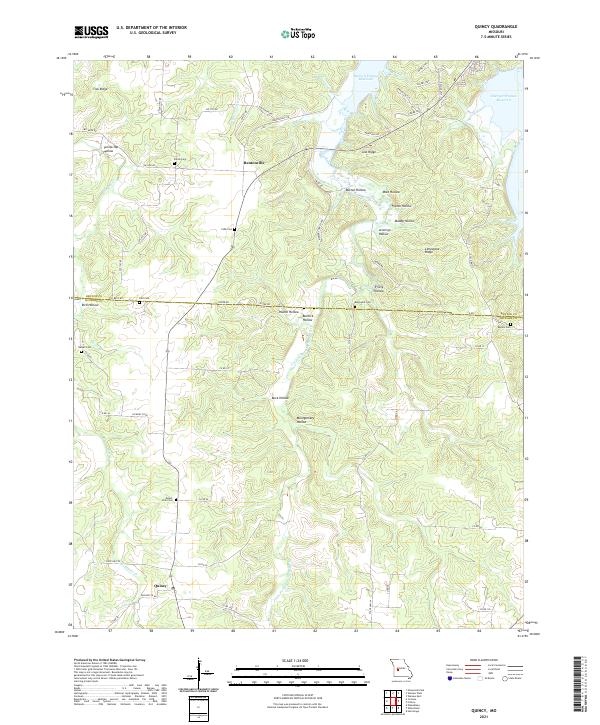
2021 Quincy
Hickory County, MO
2021 Sentinel
Hickory County, MO