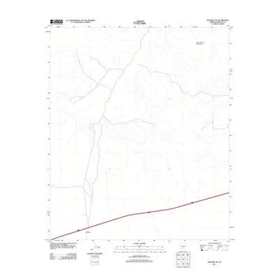
2011 Map of Sentinel NE
USGS Topo · Published 2011About this map
Tartron anchors the southwestern corner of this desert landscape, situated along a critical transportation corridor in Maricopa County. This portion of the Sonoran Desert is defined by an intricate network of dry washes that drain the surrounding basin, showing the natural hydrologic patterns of the region. To the northeast, the foothills of the Painted Rock Mountains rise from the valley floor, providing a stark topographical contrast to the relatively level plains that dominate the quadrangle. The map documents the infrastructure and land use of the early twenty-first century, specifically illustrating the primary road network that serves as a lifeline for this isolated settlement. For those studying the evolution of desert transit and human adaptation to arid environments, the relationship between the small outpost at Tartron and the local mountain ranges offers clear insight into the geography of southwestern Arizona.
Find a feature on this map
2 named features on this map. Tap any name to fly to it.
Don’t see what you’re looking for? This feature index may not catch every label — zoom into the map to look around manually.
Map Details
Editions of this 2011 Sentinel NE Map
This is the sole edition of this map. No revisions or reprints were ever made.
Other maps of this area

1942 · Vicksburg
USGS Topo · 1:250,000

1949 · Sentinel
USGS Topo · 1:62,500

1950 · Sentinel
USGS Topo · 1:62,500

1950 · Theba
USGS Topo · 1:62,500

1951 · Theba
USGS Topo · 1:62,500

1951 · Dendora Valley
USGS Topo · 1:62,500

1951 · Woolsey Peak
USGS Topo · 1:62,500

1953 · Ajo
USGS Topo · 1:250,000

1954 · Phoenix
USGS Topo · 1:250,000

1957 · Ajo
USGS Topo · 1:250,000