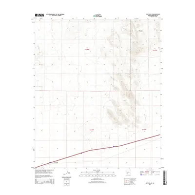
2014 Map of Sentinel NE
USGS Topo · Published 2014About this map
Tartron is located along the southern corridor of this high-desert landscape in Maricopa County, positioned near the major transportation artery of 8. This modern survey illustrates the rugged topography of the Painted Rock Mountains, which dominate the northeastern and central portions of the quadrangle. The map provides a precise look at the township and range system, specifically noting the boundaries of t5s r8w, t5s r7w, t6s r8w, and t6s r7w. The interplay between the prominent mountain peaks and the lower-lying desert flats near the settlement of Tartron highlights the geological character of the Sonoran region.
Find a feature on this map
7 named features on this map. Tap any name to fly to it.
Don’t see what you’re looking for? This feature index may not catch every label — zoom into the map to look around manually.
Map Details
Editions of this 2014 Sentinel NE Map
This is the sole edition of this map. No revisions or reprints were ever made.
Other maps of this area

1942 · Vicksburg
USGS Topo · 1:250,000

1949 · Sentinel
USGS Topo · 1:62,500

1950 · Sentinel
USGS Topo · 1:62,500

1950 · Theba
USGS Topo · 1:62,500

1951 · Theba
USGS Topo · 1:62,500

1951 · Dendora Valley
USGS Topo · 1:62,500

1951 · Woolsey Peak
USGS Topo · 1:62,500

1953 · Ajo
USGS Topo · 1:250,000

1954 · Phoenix
USGS Topo · 1:250,000

1957 · Ajo
USGS Topo · 1:250,000