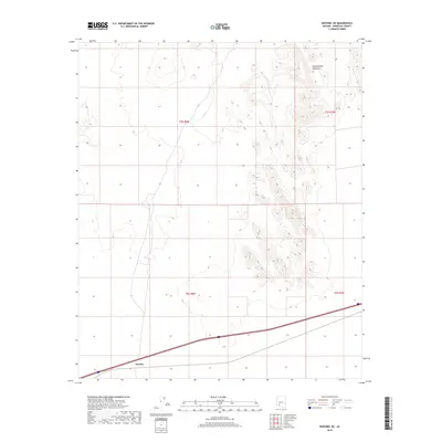
2018 Map of Sentinel NE
USGS Topo · Published 2018About this map
Tartron anchors the southwestern corner of this Maricopa County terrain, situated along a prominent transportation corridor. The landscape is defined by the striking vertical relief of the Painted Rock Mountains, which dominate the eastern half of the quadrangle with their complex ridgelines and desert peaks. This 2018 survey illustrates a stark contrast between the wide, open flats of the western sections and the rugged, rocky formations to the east. The map provides a clear look at the township and range divisions, including t5s r8w and t5s r7w, which organize this arid stretch of the Arizona desert.
Find a feature on this map
6 named features on this map. Tap any name to fly to it.
Don’t see what you’re looking for? This feature index may not catch every label — zoom into the map to look around manually.
Map Details
Editions of this 2018 Sentinel NE Map
This is the sole edition of this map. No revisions or reprints were ever made.
Other maps of this area

1942 · Vicksburg
USGS Topo · 1:250,000

1949 · Sentinel
USGS Topo · 1:62,500

1950 · Sentinel
USGS Topo · 1:62,500

1950 · Theba
USGS Topo · 1:62,500

1951 · Theba
USGS Topo · 1:62,500

1951 · Dendora Valley
USGS Topo · 1:62,500

1951 · Woolsey Peak
USGS Topo · 1:62,500

1953 · Ajo
USGS Topo · 1:250,000

1954 · Phoenix
USGS Topo · 1:250,000

1957 · Ajo
USGS Topo · 1:250,000