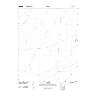
2010 Map of Sentinel Peak SE
USGS Topo · Published 2010About this map
The Mancos River winds through the southern reaches of this landscape, carving a primary drainage path in Montezuma County. This modern survey illustrates a network of ephemeral watercourses including Aztec Wash, Navajo Wash, and Cowboy Wash, which define the hydrologic character of the high desert terrain. The area is intersected by a series of regional transit lines such as Indian Rte-232, Indian Rte-238, and Ute Farm Rd, reflecting the managed infrastructure of tribal lands. Local topography is further marked by distinct geological features like Chimney Rock Draw and the deep incisions of Tanner Canyon, providing a clear record of the erosion patterns and land use within the Ute Mountain Reservation area at the beginning of the twenty-first century.
Find a feature on this map
10 named features on this map. Tap any name to fly to it.
Don’t see what you’re looking for? This feature index may not catch every label — zoom into the map to look around manually.
Map Details
Editions of this 2010 Sentinel Peak SE Map
This is the sole edition of this map. No revisions or reprints were ever made.
Other maps of this area

1889 · Chaco
USGS Topo · 1:250,000

1892 · Chaco
USGS Topo · 1:250,000

1934 · Chimney Rock
USGS Topo · 1:62,500

1934 · Rattlesnake
USGS Topo · 1:62,500

1936 · Chimney Rock
USGS Topo · 1:62,500

1937 · Rattlesnake
USGS Topo · 1:62,500

1954 · Shiprock
USGS Topo · 1:250,000

1956 · Cortez
USGS Topo · 1:250,000

1958 · Sentinel Peak NW
USGS Topo · 1:24,000

1958 · Sentinel Peak NE
USGS Topo · 1:24,000