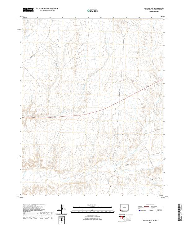
2022 Map of Sentinel Peak SE
USGS Topo · Published 2022About this map
The Mancos River winds through the southern reaches of this landscape, a vital watercourse in an arid expanse defined by significant drainages. To the north, the terrain is carved by the seasonal paths of Cowboy Wash, Aztec Wash, and Navajo Wash, which pattern the landscape with complex topography leading toward the higher elevations of Tanner Canyon. This modern survey illustrates the persistent importance of regional infrastructure, tracing a network of roads such as Indian Rte 238 and Ute Farm Rd that navigate the ridges and valleys between these washes. The map provides a clear look at the intersection of natural water systems and the established routes that serve the communities in this part of Montezuma County.
Find a feature on this map
13 named features on this map. Tap any name to fly to it.
Don’t see what you’re looking for? This feature index may not catch every label — zoom into the map to look around manually.
Map Details
Editions of this 2022 Sentinel Peak SE Map
This is the sole edition of this map. No revisions or reprints were ever made.
Other maps of this area

1889 · Chaco
USGS Topo · 1:250,000

1892 · Chaco
USGS Topo · 1:250,000

1934 · Chimney Rock
USGS Topo · 1:62,500

1934 · Rattlesnake
USGS Topo · 1:62,500

1936 · Chimney Rock
USGS Topo · 1:62,500

1937 · Rattlesnake
USGS Topo · 1:62,500

1954 · Shiprock
USGS Topo · 1:250,000

1956 · Cortez
USGS Topo · 1:250,000

1958 · Sentinel Peak NW
USGS Topo · 1:24,000

1958 · Sentinel Peak NE
USGS Topo · 1:24,000