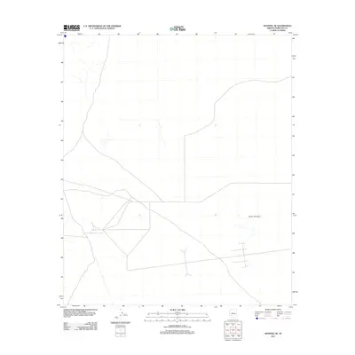
2011 Map of Sentinel SE
USGS Topo · Published 2011About this map
The arid expanse of southwestern Arizona, south of the Gila River, is characterized by its sparse infrastructure and volcanic landforms. Cinder Mountain stands as the primary geographic landmark on this sheet, a prominent feature within the volcanic landscape typical of Maricopa County. The terrain is marked by a network of unimproved roads and 4WD tracks that crisscross the desert floor, indicating a region utilized for transit and access rather than dense settlement. These tracks follow the natural contours of the basin, weaving between slight topographic elevations in an area defined by its open spaces and minimal modern development.
Find a feature on this map
1 named feature on this map. Tap any name to fly to it.
Don’t see what you’re looking for? This feature index may not catch every label — zoom into the map to look around manually.
Map Details
Editions of this 2011 Sentinel SE Map
This is the sole edition of this map. No revisions or reprints were ever made.
Other maps of this area

1949 · Sentinel
USGS Topo · 1:62,500

1950 · Sentinel
USGS Topo · 1:62,500

1950 · Theba
USGS Topo · 1:62,500

1951 · Theba
USGS Topo · 1:62,500

1953 · Ajo
USGS Topo · 1:250,000

1957 · Ajo
USGS Topo · 1:250,000

1958 · Ajo
USGS Topo · 1:250,000

1958 · Midway
USGS Topo · 1:62,500

1962 · Ajo
USGS Topo · 1:250,000

1963 · Ajo
USGS Topo · 1:250,000