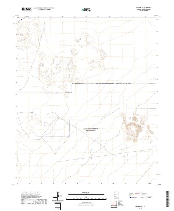
2021 Map of Sentinel SE
USGS Topo · Published 2021About this map
The arid landscape of Cinder Mountain dominates the eastern portion of this southwestern Arizona survey. The terrain is defined by its topographic isolation, with the volcanic profile of Cinder Mountain rising above the surrounding desert floor within the public land survey grid. The map delineates the intersection of several townships and ranges, including t7s r7w and t7s r8w, revealing a network of desert tracks and minor roads that cross the valley floor. These lines represent the modern connectivity through an environment primarily shaped by geologic forces rather than dense human settlement, illustrating the expansive, open nature of this part of Maricopa County.
Find a feature on this map
7 named features on this map. Tap any name to fly to it.
Don’t see what you’re looking for? This feature index may not catch every label — zoom into the map to look around manually.
Map Details
Editions of this 2021 Sentinel SE Map
This is the sole edition of this map. No revisions or reprints were ever made.
Other maps of this area

1949 · Sentinel
USGS Topo · 1:62,500

1950 · Sentinel
USGS Topo · 1:62,500

1950 · Theba
USGS Topo · 1:62,500

1951 · Theba
USGS Topo · 1:62,500

1953 · Ajo
USGS Topo · 1:250,000

1957 · Ajo
USGS Topo · 1:250,000

1958 · Ajo
USGS Topo · 1:250,000

1958 · Midway
USGS Topo · 1:62,500

1962 · Ajo
USGS Topo · 1:250,000

1963 · Ajo
USGS Topo · 1:250,000