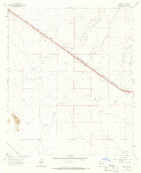
1964 Map of Separ
USGS Topo · Published 1966About this map
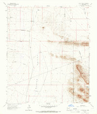
Southern Pacific tracks and the emerging corridor of Interstate 10 dominate this high-desert landscape in Grant County. The small settlement of Separ serves as a central hub, situated where the rail line and the modern highway converge. Water management is a critical theme across this arid terrain, evidenced by numerous named groundwater sources such as May Well, Kelly Well, and the Glaze Windmill. These features, along with working properties like Cox Ranch and Separ Ranch, illustrate the ranching economy that persisted even as transportation infrastructure modernized. To the south, the terrain is defined by the winding course of Burro Cienaga and the prominent rise of Pigeon Hill, while an Old Railroad Grade marks an earlier era of transit through the basin.
Find a feature on this map
17 named features on this map. Tap any name to fly to it.
Don’t see what you’re looking for? This feature index may not catch every label — zoom into the map to look around manually.
Map Details
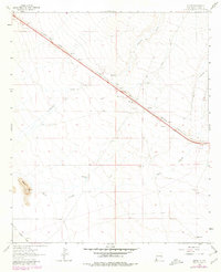
Editions of this 1964 Separ Map
2 editions found
Other maps of this area

1954 · Silver City
USGS Topo · 1:250,000

1958 · Silver City
USGS Topo · 1:250,000

1962 · Silver City
USGS Topo · 1:250,000

1962 · Ninetysix Ranch
USGS Topo · 1:24,000

1962 · Lisbon
USGS Topo · 1:24,000

1963 · Soldiers Farewell Hill
USGS Topo · 1:24,000

1964 · Muir Ranch
USGS Topo · 1:24,000
1964 · The Saltys
USGS Topo · 1:24,000
1964 · Separ NE
USGS Topo · 1:24,000
1964 · Coyote Peak
USGS Topo · 1:24,000