
1964 Map of Sergeant Bluff
USGS Topo · Published 1965About this map
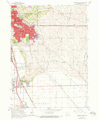
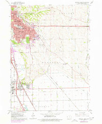
Morningside and the southern reaches of Sioux City dominate this mid-1960s survey, illustrating a landscape defined by educational institutions and civic expansion. The campus of Morningside College serves as a central anchor, surrounded by numerous neighborhood schools such as McKinley Sch and East High Sch. The urban grid transitions into significant memorial grounds, including the expansive Graceland Park Cemetery and Memorial Park Cemetery, before giving way to the open agricultural tracts of Liberty and Grange.
Find a feature on this map
51 named features on this map. Tap any name to fly to it.
Don’t see what you’re looking for? This feature index may not catch every label — zoom into the map to look around manually.
Map Details
Editions of this 1964 Sergeant Bluff Map
3 editions found
Other maps of this area

1955 · Sioux City
USGS Topo · 1:250,000

1958 · Sioux City
USGS Topo · 1:250,000

1959 · Sioux City
USGS Topo · 1:250,000

1962 · Union Center
USGS Topo · 1:62,500

1963 · Sioux City South
USGS Topo · 1:24,000

1963 · Sioux City North
USGS Topo · 1:24,000

1964 · James
USGS Topo · 1:24,000

1964 · Lawton
USGS Topo · 1:24,000

1964 · Luton
USGS Topo · 1:24,000

1964 · Homer
USGS Topo · 1:24,000