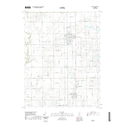
2021 Map of Sesser
USGS Topo · Published 2021About this map
Sesser and the surrounding southern Illinois countryside reflect a landscape shaped by local water resources and family history. Small settlements such as Valier, Coello, North City, and Valier Patch are linked by a grid of rural roads and highways, with the coal industry's influence noted at the Mine Number 21 Reservoir. The terrain is characterized by gentle rises like Moores Hill and Grammer Hill, while the western edge is defined by the winding course of the Little Muddy River along the Perry and Franklin County line.
Find a feature on this map
133 named features on this map. Tap any name to fly to it.
Don’t see what you’re looking for? This feature index may not catch every label — zoom into the map to look around manually.
Map Details
Editions of this 2021 Sesser Map
This is the sole edition of this map. No revisions or reprints were ever made.
Other maps of this area

1909 · West Frankfort
USGS Topo · 1:62,500

1910 · Herrin
USGS Topo · 1:62,500

1926 · Duquoin
USGS Topo · 1:62,500

1936 · Herrin
USGS Topo · 1:62,500

1939 · Ina
USGS Topo · 1:62,500

1941 · West Frankfort
USGS Topo · 1:62,500

1943 · Ina
USGS Topo · 1:62,500

1949 · Paducah
USGS Topo · 1:250,000

1950 · Paducah
USGS Topo · 1:250,000

1954 · Paducah
USGS Topo · 1:250,000