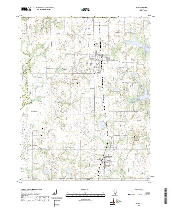
2024 Map of Sesser
USGS Topo · Published 2024About this map
Sesser serves as the primary hub of this northern Franklin County landscape, where the grid-like residential streets transition into a rolling terrain defined by small creeks and family-named landmarks. The area maintains a high density of small burial grounds, including Maple Hill Cem and Bear Point Cem, which provide essential points of reference for local genealogical research. To the south, the industrial and residential clusters of Valier, Valier Patch, and Coello reflect the region's historic mining and labor patterns.
Find a feature on this map
139 named features on this map. Tap any name to fly to it.
Don’t see what you’re looking for? This feature index may not catch every label — zoom into the map to look around manually.
Map Details
Editions of this 2024 Sesser Map
This is the sole edition of this map. No revisions or reprints were ever made.
Other maps of this area

1909 · West Frankfort
USGS Topo · 1:62,500

1910 · Herrin
USGS Topo · 1:62,500

1926 · Duquoin
USGS Topo · 1:62,500

1936 · Herrin
USGS Topo · 1:62,500

1939 · Ina
USGS Topo · 1:62,500

1941 · West Frankfort
USGS Topo · 1:62,500

1943 · Ina
USGS Topo · 1:62,500

1949 · Paducah
USGS Topo · 1:250,000

1950 · Paducah
USGS Topo · 1:250,000

1954 · Paducah
USGS Topo · 1:250,000