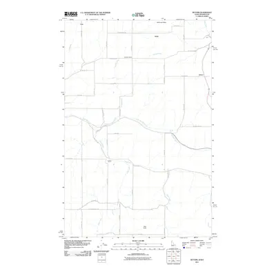
2011 Map of Setters
USGS Topo · Published 2011About this map
Rock Creek and its many tributaries, including North Fork Rock Creek and Rose Creek, carve through the rolling plateau landscape along the Washington and Idaho border. This early 21st-century survey reveals a rural territory defined by a strictly organized grid of gravel and paved roads, reflecting long-established agricultural boundaries. Small communities and named locales such as Setters, Saxby, and Coey serve as anchors for the surrounding farms.
Find a feature on this map
39 named features on this map. Tap any name to fly to it.
Don’t see what you’re looking for? This feature index may not catch every label — zoom into the map to look around manually.
Map Details
Editions of this 2011 Setters Map
This is the sole edition of this map. No revisions or reprints were ever made.
Other maps of this area

1901 · Spokane
USGS Topo · 1:125,000

1903 · Oakesdale
USGS Topo · 1:125,000

1903 · Rathdrum
USGS Topo · 1:125,000

1905 · Oakesdale
USGS Topo · 1:125,000

1949 · Greenacres
USGS Topo · 1:62,500

1951 · Greenacres
USGS Topo · 1:62,500

1954 · Fairfield
USGS Topo · 1:62,500

1955 · Spokane
USGS Topo · 1:250,000

1957 · Plummer
USGS Topo · 1:62,500

1957 · Coeur D'Alene
USGS Topo · 1:62,500