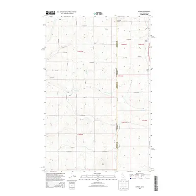
2013 Map of Setters
USGS Topo · Published 2013About this map
Rockford and the surrounding farmland of southern Spokane County anchor this landscape along the Washington and Idaho border. The terrain is defined by a dense network of sectional roads and the drainage systems of Rock Creek and its tributaries, including North Fork Rock Creek and Rose Creek. To the east, the settlement of Setters sits near the state line, while northern locales like Saxby and Coey are connected by routes such as East Drumheller Road.
Find a feature on this map
49 named features on this map. Tap any name to fly to it.
Don’t see what you’re looking for? This feature index may not catch every label — zoom into the map to look around manually.
Map Details
Editions of this 2013 Setters Map
This is the sole edition of this map. No revisions or reprints were ever made.
Other maps of this area

1901 · Spokane
USGS Topo · 1:125,000

1903 · Oakesdale
USGS Topo · 1:125,000

1903 · Rathdrum
USGS Topo · 1:125,000

1905 · Oakesdale
USGS Topo · 1:125,000

1949 · Greenacres
USGS Topo · 1:62,500

1951 · Greenacres
USGS Topo · 1:62,500

1954 · Fairfield
USGS Topo · 1:62,500

1955 · Spokane
USGS Topo · 1:250,000

1957 · Plummer
USGS Topo · 1:62,500

1957 · Coeur D'Alene
USGS Topo · 1:62,500