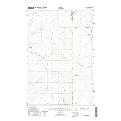
2017 Map of Setters
USGS Topo · Published 2017About this map
Rockford and Setters anchor this 2017 survey of the borderlands between Spokane County, Washington, and Kootenai County, Idaho. The landscape is defined by the high ground of McGowan Butte to the north and Starr Butte to the south, with a drainage network that includes the N Fork Rock Cr and Mica Cr. This area represents a transition between agricultural plateaus and more significant elevation, where the road network follows established township lines and creek beds. Small named locales like Coey and Saxby reflect the historical settlement patterns along the state line. Unique infrastructure is visible in the eastern half of the map, such as W Missile Base Rd, hinting at the Cold War era's defensive installations that once occupied these rural stretches. The geography here is a mix of quiet rural routes like S Harvard Rd and Rockford Idaho Rd that bridge the two states.
Find a feature on this map
54 named features on this map. Tap any name to fly to it.
Don’t see what you’re looking for? This feature index may not catch every label — zoom into the map to look around manually.
Map Details
Editions of this 2017 Setters Map
This is the sole edition of this map. No revisions or reprints were ever made.
Other maps of this area

1901 · Spokane
USGS Topo · 1:125,000

1903 · Oakesdale
USGS Topo · 1:125,000

1903 · Rathdrum
USGS Topo · 1:125,000

1905 · Oakesdale
USGS Topo · 1:125,000

1949 · Greenacres
USGS Topo · 1:62,500

1951 · Greenacres
USGS Topo · 1:62,500

1954 · Fairfield
USGS Topo · 1:62,500

1955 · Spokane
USGS Topo · 1:250,000

1957 · Plummer
USGS Topo · 1:62,500

1957 · Coeur D'Alene
USGS Topo · 1:62,500