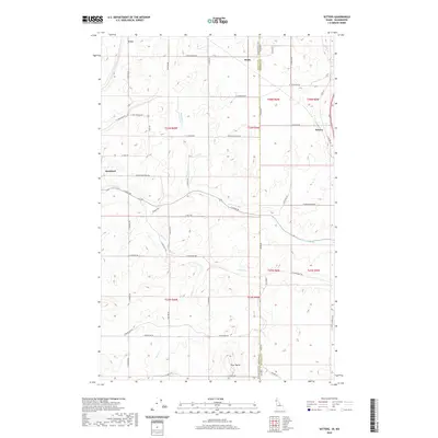
2020 Map of Setters
USGS Topo · Published 2020About this map
Rockford and the surrounding borderlands of Eastern Washington and Northern Idaho define this 2020 landscape, where the agricultural plateaus of Spokane County meet the rising terrain of Kootenai County. Small rail-side settlements and crossroads like Setters, Saxby, and Coey populate the northern half of the sheet, connected by a network of rural roads such as Settlers Rd and Rockford Idaho Rd. The geography is deeply carved by drainage systems, most notably Rock Creek and its tributaries, including N Fork Rock Creek, which flow through the undulating hills.
Find a feature on this map
55 named features on this map. Tap any name to fly to it.
Don’t see what you’re looking for? This feature index may not catch every label — zoom into the map to look around manually.
Map Details
Editions of this 2020 Setters Map
This is the sole edition of this map. No revisions or reprints were ever made.
Other maps of this area

1901 · Spokane
USGS Topo · 1:125,000

1903 · Oakesdale
USGS Topo · 1:125,000

1903 · Rathdrum
USGS Topo · 1:125,000

1905 · Oakesdale
USGS Topo · 1:125,000

1949 · Greenacres
USGS Topo · 1:62,500

1951 · Greenacres
USGS Topo · 1:62,500

1954 · Fairfield
USGS Topo · 1:62,500

1955 · Spokane
USGS Topo · 1:250,000

1957 · Plummer
USGS Topo · 1:62,500

1957 · Coeur D'Alene
USGS Topo · 1:62,500