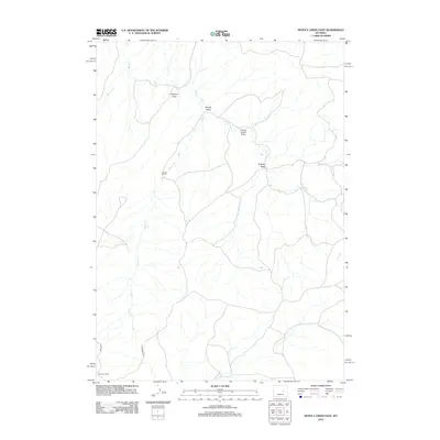
2012 Map of Seven L Creek East
USGS Topo · Published 2012About this map
Seven L Ranch stands in the western portion of this drainage landscape, where ephemeral waterways have carved a complex network of named draws across Natrona County. The terrain is defined by the winding course of Salt Cr and its tributaries, including Seven-L-Cr and Bobcat Cr. These seasonal streams are flanked by numerous topographic depressions, such as Coyote Smith Draw, Ormsby Draw, and Shonsy Draw, which reveal the erosional patterns typical of this high plains environment.
Find a feature on this map
11 named features on this map. Tap any name to fly to it.
Don’t see what you’re looking for? This feature index may not catch every label — zoom into the map to look around manually.
Map Details
Editions of this 2012 Seven L Creek East Map
This is the sole edition of this map. No revisions or reprints were ever made.
Other maps of this area

1955 · Newcastle
USGS Topo · 1:250,000

1955 · Arminto
USGS Topo · 1:250,000

1958 · Arminto
USGS Topo · 1:250,000

1958 · Newcastle
USGS Topo · 1:250,000

1959 · Fifty-Five Ranch
USGS Topo · 1:62,500

1959 · Edgerton
USGS Topo · 1:62,500

1959 · Ormsby Draw
USGS Topo · 1:62,500

1960 · Ross
USGS Topo · 1:62,500

1962 · Arminto
USGS Topo · 1:250,000

1979 · Bill
USGS Topo · 1:100,000