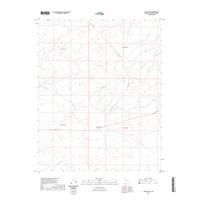
2023 Map of Seven Lakes
USGS Topo · Published 2023About this map
Seven Lakes anchors this high-desert landscape in McKinley County, positioned where the drainage of Seven Lakes Wash marks the arid terrain. The map illustrates a remote section of New Mexico characterized by its vast drainage networks, including the Kim-me-ni-oli Wash to the south. Historically significant routes cross the area, with Chaco Canyon Rd and Navajo Svc Rte 9 providing the primary access through this sparsely populated territory. The grid of the Public Land Survey System is clearly defined, showing the divisions of townships such as t19n r11w and t18n r10w. This contemporary record captures the essential topography of the San Juan Basin, revealing the relationship between the ephemeral watercourses and the established road system used by local residents and travelers.
Find a feature on this map
9 named features on this map. Tap any name to fly to it.
Don’t see what you’re looking for? This feature index may not catch every label — zoom into the map to look around manually.
Map Details
Editions of this 2023 Seven Lakes Map
This is the sole edition of this map. No revisions or reprints were ever made.
Other maps of this area

1883 · Mt. Taylor
USGS Topo · 1:250,000

1886 · Wingate
USGS Topo · 1:250,000

1886 · Mt. Taylor
USGS Topo · 1:250,000

1892 · Wingate
USGS Topo · 1:250,000

1892 · Mt. Taylor
USGS Topo · 1:250,000

1899 · Mt. Taylor
USGS Topo · 1:250,000

1954 · Gallup
USGS Topo · 1:250,000

1958 · Gallup
USGS Topo · 1:250,000

1958 · Albuquerque
USGS Topo · 1:250,000

1959 · Gallup
USGS Topo · 1:250,000