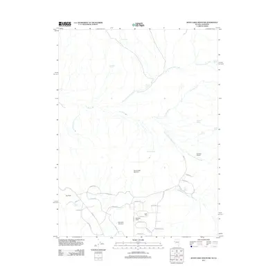
2011 Map of Seven Lakes Mountain
USGS Topo · Published 2011About this map
Red Rock Valley and the high ground of Seven Lakes Mountain define this high-desert corridor in Washoe County. The landscape is characterized by a series of seasonal drainages and remote watering points, including North Fork Dry Valley Creek and several springs named for local figures or descriptive traits, such as Bootlegger Spring and Tod Hunters Spring. The modern road network, with names like Buckboard Cir, Wrangler Rd, and Branding Iron Rd, reflects a local identity deeply rooted in ranching and equestrian culture.
Find a feature on this map
40 named features on this map. Tap any name to fly to it.
Don’t see what you’re looking for? This feature index may not catch every label — zoom into the map to look around manually.
Map Details
Editions of this 2011 Seven Lakes Mountain Map
This is the sole edition of this map. No revisions or reprints were ever made.
Other maps of this area

1886 · Honey Lake
USGS Topo · 1:250,000

1886 · Granite Range
USGS Topo · 1:250,000

1890 · Sierraville
USGS Topo · 1:125,000

1891 · Honey Lake
USGS Topo · 1:250,000

1891 · Reno
USGS Topo · 1:125,000

1892 · Sierraville
USGS Topo · 1:125,000

1893 · Honey Lake
USGS Topo · 1:250,000

1893 · Reno
USGS Topo · 1:125,000

1894 · Granite Range
USGS Topo · 1:250,000

1894 · Sierraville
USGS Topo · 1:125,000