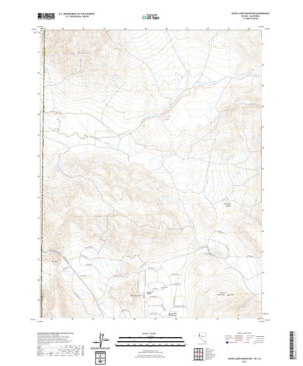
2021 Map of Seven Lakes Mountain
USGS Topo · Published 2021About this map
The high desert landscape along the Nevada and California border is dominated by the Seven Lakes Mtn and the Fort Sage Mountains. This 2021 survey shows a region defined by its hydrographic history, where numerous natural water sources like Bootlegger Spring, Willow Spring, and Santana Spring dot the terrain. The presence of Dry Valley and Middle Red Rock Valley suggests a basin-and-range topography where seasonal runoff and groundwater have shaped local land use.
Find a feature on this map
57 named features on this map. Tap any name to fly to it.
Don’t see what you’re looking for? This feature index may not catch every label — zoom into the map to look around manually.
Map Details
Editions of this 2021 Seven Lakes Mountain Map
This is the sole edition of this map. No revisions or reprints were ever made.
Other maps of this area

1886 · Honey Lake
USGS Topo · 1:250,000

1886 · Granite Range
USGS Topo · 1:250,000

1890 · Sierraville
USGS Topo · 1:125,000

1891 · Honey Lake
USGS Topo · 1:250,000

1891 · Reno
USGS Topo · 1:125,000

1892 · Sierraville
USGS Topo · 1:125,000

1893 · Honey Lake
USGS Topo · 1:250,000

1893 · Reno
USGS Topo · 1:125,000

1894 · Granite Range
USGS Topo · 1:250,000

1894 · Sierraville
USGS Topo · 1:125,000