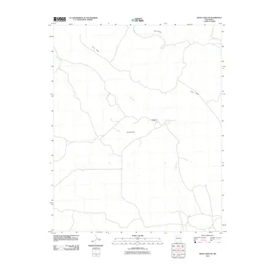
2010 Map of Seven Lakes NE
USGS Topo · Published 2010About this map
Chaco Canyon cuts through the high desert of the Eastern Navajo Agency, defining the northern reach of this 2010 topographic study. The landscape is dominated by the massive landform of Chaco Mesa, which rises above the surrounding plains. Human presence and industry are focused at the Red Mountain Oil Field, located near the base of its namesake, Red Mountain. The hydrological network consists primarily of ephemeral drainages, with Chaco Wash and the meandering Fajada Wash providing the primary channels for seasonal runoff across this arid terrain. This map serves as a record of the modern infrastructure and natural boundaries within a culturally significant region of New Mexico.
Find a feature on this map
6 named features on this map. Tap any name to fly to it.
Don’t see what you’re looking for? This feature index may not catch every label — zoom into the map to look around manually.
Map Details
Editions of this 2010 Seven Lakes NE Map
This is the sole edition of this map. No revisions or reprints were ever made.
Other maps of this area

1883 · Mt. Taylor
USGS Topo · 1:250,000

1886 · Mt. Taylor
USGS Topo · 1:250,000

1889 · Largo
USGS Topo · 1:250,000

1892 · Mt. Taylor
USGS Topo · 1:250,000

1895 · Largo
USGS Topo · 1:250,000

1899 · Mt. Taylor
USGS Topo · 1:250,000

1954 · Aztec
USGS Topo · 1:250,000

1958 · Aztec
USGS Topo · 1:250,000

1958 · Albuquerque
USGS Topo · 1:250,000

1961 · Whitehorse
USGS Topo · 1:24,000