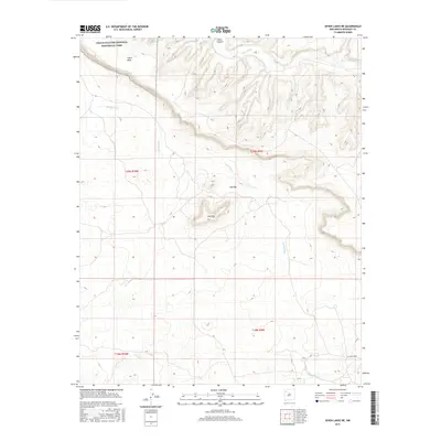
2017 Map of Seven Lakes NE
USGS Topo · Published 2017About this map
Chaco Culture National Historical Park anchors the northwestern corner of this landscape, where the high terrain of Chaco Mesa meets the drainage systems of the San Juan Basin. The topography is defined by significant elevation changes, particularly around the distinctive Red Mtn and the sweeping escarpments of W Chaco Mesa. These landforms dictate the flow of seasonal water through Chaco Wash and Fajada Wash, which carve through the high desert floor. The map details the complex Public Land Survey System divisions, including t20n r9w and t20n r10w, illustrating how modern administrative boundaries overlay a rugged, ancient geography. This survey provides a precise look at the drainage patterns and land management lines in a region where natural landmarks like mesas and washes serve as the primary navigational anchors.
Find a feature on this map
10 named features on this map. Tap any name to fly to it.
Don’t see what you’re looking for? This feature index may not catch every label — zoom into the map to look around manually.
Map Details
Editions of this 2017 Seven Lakes NE Map
This is the sole edition of this map. No revisions or reprints were ever made.
Other maps of this area

1883 · Mt. Taylor
USGS Topo · 1:250,000

1886 · Mt. Taylor
USGS Topo · 1:250,000

1889 · Largo
USGS Topo · 1:250,000

1892 · Mt. Taylor
USGS Topo · 1:250,000

1895 · Largo
USGS Topo · 1:250,000

1899 · Mt. Taylor
USGS Topo · 1:250,000

1954 · Aztec
USGS Topo · 1:250,000

1958 · Aztec
USGS Topo · 1:250,000

1958 · Albuquerque
USGS Topo · 1:250,000

1961 · Whitehorse
USGS Topo · 1:24,000