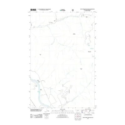
2011 Map of Seven Point Mountain
USGS Topo · Published 2011About this map
Gold King/Bonanza Mine sits high on the slopes above the Vermillion River, marking a legacy of mineral exploration in this section of Sanders County. The landscape is defined by its dramatic verticality, from the shoreline of Noxon Reservoir to the high summits of Seven Point Mountain and Cataract Peak. The small settlement of Childs is positioned near the reservoir, connected to the backcountry by Blue Slide Rd and Childs Rd. High-elevation water bodies like Grouse Lake, Bear Lake, and the Marmot Lakes are tucked into the drainages of Grouse Creek and Cataract Creek, illustrating the complex hydrology of this drainage basin. The map detail highlights the numerous gulches—such as Miners Gulch and Lyons Gulch—that feed into the river systems.
Find a feature on this map
24 named features on this map. Tap any name to fly to it.
Don’t see what you’re looking for? This feature index may not catch every label — zoom into the map to look around manually.
Map Details
Editions of this 2011 Seven Point Mountain Map
This is the sole edition of this map. No revisions or reprints were ever made.
Other maps of this area

1932 · Trout Creek
USGS Topo · 1:125,000

1935 · Trout Creek
USGS Topo · 1:125,000

1936 · Trout Creek
USGS Topo · 1:125,000

1937 · Thompson Falls
USGS Topo · 1:125,000

1937 · Thompson Falls
USGS Topo · 1:62,500

1956 · Cooper Gulch
USGS Topo · 1:62,500

1956 · Wallace
USGS Topo · 1:250,000

1957 · Thompson Falls
USGS Topo · 1:62,500

1960 · Wallace
USGS Topo · 1:250,000

1966 · Vermilion Peak
USGS Topo · 1:24,000