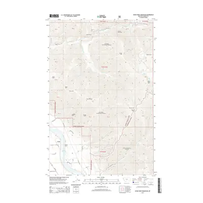
2014 Map of Seven Point Mountain
USGS Topo · Published 2014About this map
Noxon Reservoir dominates the southwestern corner of this landscape, marking the transition between the waterway and the steep ascent into the Cabinet Mountains. The settlement of Childs sits at the base of these slopes, where Blue Slide Rd and Kirby Creek Dr provide access to the surrounding timberlands. The territory is defined by the massive interface between the Kaniksu National Forest and Lolo National Forest, where high ridges like Seven Point Mtn and Cataract Peak look down upon drainages such as the Vermilion River. Genealogists and historians can trace numerous family-named gulches including Lyons Gulch, Kirby Gulch, and Cameron Gulch, which suggest a history of early land use and mineral exploration. The presence of remote water bodies like Grouse Lake and Bear Lake tucked behind high peaks highlights the isolation of this corner of Sanders County.
Find a feature on this map
39 named features on this map. Tap any name to fly to it.
Don’t see what you’re looking for? This feature index may not catch every label — zoom into the map to look around manually.
Map Details
Editions of this 2014 Seven Point Mountain Map
This is the sole edition of this map. No revisions or reprints were ever made.
Other maps of this area

1932 · Trout Creek
USGS Topo · 1:125,000

1935 · Trout Creek
USGS Topo · 1:125,000

1936 · Trout Creek
USGS Topo · 1:125,000

1937 · Thompson Falls
USGS Topo · 1:125,000

1937 · Thompson Falls
USGS Topo · 1:62,500

1956 · Cooper Gulch
USGS Topo · 1:62,500

1956 · Wallace
USGS Topo · 1:250,000

1957 · Thompson Falls
USGS Topo · 1:62,500

1960 · Wallace
USGS Topo · 1:250,000

1966 · Vermilion Peak
USGS Topo · 1:24,000