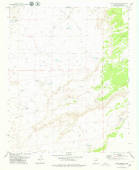
1979 Map of Seven Springs
USGS Topo · Published 1979About this map
Water management in the high desert of Apache County defines this landscape, where a sophisticated network of catchment basins and ephemeral drainages supports local ranching. Named tanks, such as Reuell Jarvis Tank and Pat Hughes Tank, are strategically positioned across the terrain to capture runoff from seasonal flows in Milky Wash and Beaver Dam Wash. These features, along with the eponymous Seven Springs and several Corral sites, suggest a history of livestock grazing and land use dependent on these specific, named water sources.
Find a feature on this map
18 named features on this map. Tap any name to fly to it.
Don’t see what you’re looking for? This feature index may not catch every label — zoom into the map to look around manually.
Map Details
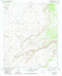
Editions of this 1979 Seven Springs Map
2 editions found
Other maps of this area

1886 · St Johns
USGS Topo · 1:250,000

1892 · St Johns
USGS Topo · 1:250,000

1954 · Saint Johns
USGS Topo · 1:250,000

1955 · Adamana 1 SW
USGS Topo · 1:24,000

1955 · Adamana 4 NE
USGS Topo · 1:24,000

1955 · Adamana 4 NW
USGS Topo · 1:24,000

1955 · Wolford Springs 3 NW
USGS Topo · 1:24,000

1955 · Hunt
USGS Topo · 1:62,500

1956 · Adamana 1 NW
USGS Topo · 1:24,000

1957 · Saint Johns
USGS Topo · 1:250,000