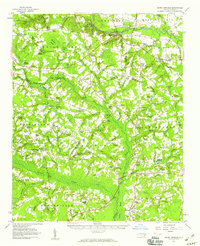
1957 Map of Seven Springs
USGS Topo · Published 1959About this map
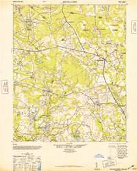
Seven Springs and the surrounding coastal plain of eastern North Carolina appear here in a mid-century snapshot of rural community and natural terrain. The landscape is defined by the winding course of the Neuse River in the north and the expansive Goshen Swamp to the south, with numerous small settlements linked by a network of bridges such as Whitehall Bridge and Outlaws Bridge. The presence of several crossroads communities like Hines Crossroads, Wootens Crossroads, and Blizzards Crossroads illustrates the traditional settlement patterns of the era, where local commerce and social life centered around these junctions.
Find a feature on this map
138 named features on this map. Tap any name to fly to it.
Don’t see what you’re looking for? This feature index may not catch every label — zoom into the map to look around manually.
Map Details
Editions of this 1957 Seven Springs Map
This is the sole edition of this map. No revisions or reprints were ever made.
Other maps of this area

1914 · Kinston
USGS Topo · 1:48,000
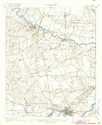
1916 · Kinston
USGS Topo · 1:62,500
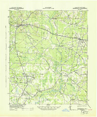
1943 · Kenansville
USGS Topo · 1:62,500
1948 · Kenansville
USGS Topo · 1:62,500
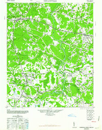
1948 · Richlands
USGS Topo · 1:62,500

1953 · Florence
USGS Topo · 1:250,000

1953 · Rocky Mount
USGS Topo · 1:250,000

1953 · Raleigh
USGS Topo · 1:250,000

1953 · Beaufort
USGS Topo · 1:250,000

1954 · Rocky Mount
USGS Topo · 1:250,000