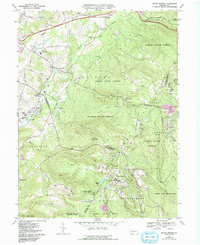
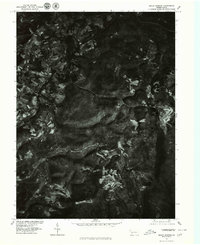
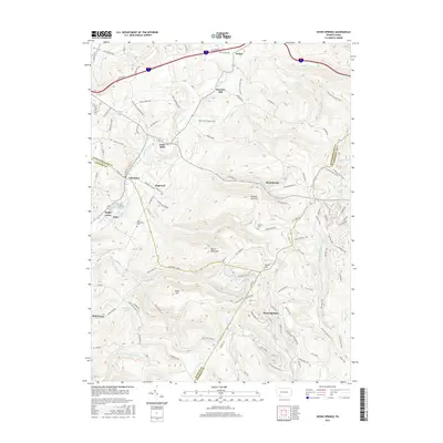
1967 Map of Seven Springs
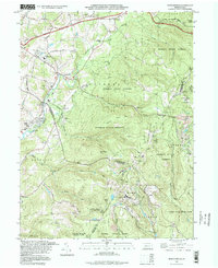
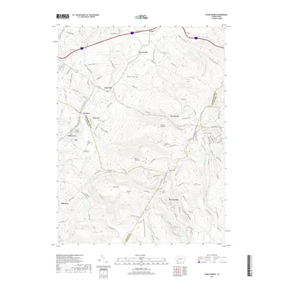
USGS Topo · Published 1993About this map
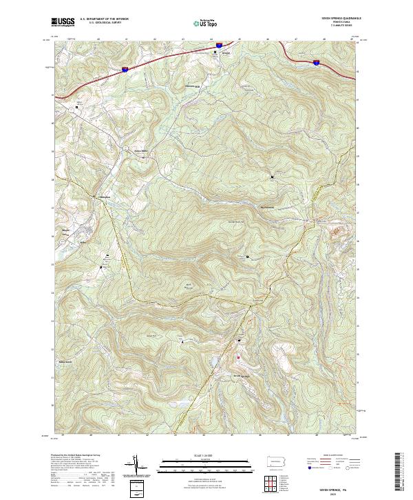
Forbes State Forest dominates this section of the Laurel Highlands, where the rugged terrain of the Allegheny Mountains shaped a landscape of scattered mountain settlements and outdoor recreation. Large tracts of state-protected land, including Laurel Ridge State Park and Laurel Hill State Park, are interspersed with small communities like Jones Mills and Champion. The presence of the White Mountain Ski Area and Hidden Valley Ski Area alongside the Seven Springs resort area illustrates the mid-century evolution of this region from a timber and milling economy into a premier winter sports destination. Local history is preserved in sites like the Pritts School and several rural congregations, including Mt Olive Ch and St Raymonds Ch. The network of old mountain roads, such as Old Turnpike Road and Distillery Road, follows the natural contours of the ridges and valleys.
Find a feature on this map
65 named features on this map. Tap any name to fly to it.
Don’t see what you’re looking for? This feature index may not catch every label — zoom into the map to look around manually.
Map Details
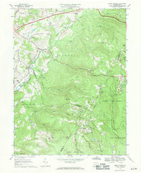
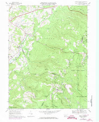
Editions of this 1967 Seven Springs Map
4 editions found
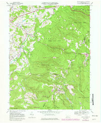
Historical Maps of Seven Springs Through Time
8 maps found
Featured Locations
- Saltlick Township, PA
- Springfield Township, PA
- Seven Springs, PA
- Kregar, Donegal Township
- Maple Grove, Saltlick Township