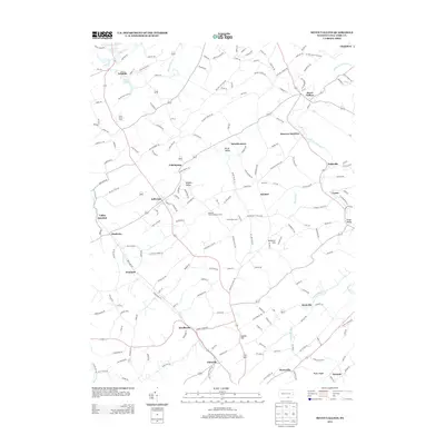
2013 Map of Seven Valleys
USGS Topo · Published 2013About this map
Seven Valleys and the historic rail nexus at Hanover Junction define the northern corridor of this York County landscape. The terrain is a rhythmic series of valleys and ridges, with Buffalo Valley and Brush Valley running parallel to the winding course of the South Br Codorus Cr. Small agrarian settlements and named family lands like Orion Horse Farm and Meadow Valley Breeder Farms are linked by a dense network of country roads, reflecting the region's long-standing agricultural character. In the southern reach, the map documents established communities such as Brodbecks and Glenville, while local landmarks like Saubel Hill and Huntrick Hill provide vertical relief. This survey records the contemporary footprint of these crossroad towns and the persistence of traditional land use patterns in south-central Pennsylvania.
Find a feature on this map
184 named features on this map. Tap any name to fly to it.
Don’t see what you’re looking for? This feature index may not catch every label — zoom into the map to look around manually.
Map Details
Editions of this 2013 Seven Valleys Map
This is the sole edition of this map. No revisions or reprints were ever made.
Other maps of this area

1900 · Parkton
USGS Topo · 1:62,500

1902 · Parkton
USGS Topo · 1:62,500

1905 · Westminster
USGS Topo · 1:62,500

1908 · York
USGS Topo · 1:62,500

1910 · York
USGS Topo · 1:62,500

1920 · Hanover
USGS Topo · 1:62,500

1922 · Hanover
USGS Topo · 1:62,500

1944 · New Freedom
USGS Topo · 1:31,680

1944 · Manchester
USGS Topo · 1:31,680

1944 · Lineboro
USGS Topo · 1:31,680