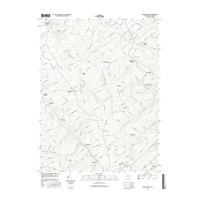
2016 Map of Seven Valleys
USGS Topo · Published 2016About this map
Codorus Creek and its many branches shape the rural landscape of southern York County, winding through deep valleys such as Brush Valley and Buffalo Valley. This 2016 survey documents the enduring agricultural and small-town character of the region, anchored by settlements like Seven Valleys, Jefferson, and Brodbecks. The map preserves the names of early industrial and educational landmarks now embedded in the road network, including Snyder Mill Rd, Krafts Mill Rd, and Beards School Rd.
Find a feature on this map
189 named features on this map. Tap any name to fly to it.
Don’t see what you’re looking for? This feature index may not catch every label — zoom into the map to look around manually.
Map Details
Editions of this 2016 Seven Valleys Map
This is the sole edition of this map. No revisions or reprints were ever made.
Other maps of this area

1900 · Parkton
USGS Topo · 1:62,500

1902 · Parkton
USGS Topo · 1:62,500

1905 · Westminster
USGS Topo · 1:62,500

1908 · York
USGS Topo · 1:62,500

1910 · York
USGS Topo · 1:62,500

1920 · Hanover
USGS Topo · 1:62,500

1922 · Hanover
USGS Topo · 1:62,500

1944 · New Freedom
USGS Topo · 1:31,680

1944 · Manchester
USGS Topo · 1:31,680

1944 · Lineboro
USGS Topo · 1:31,680