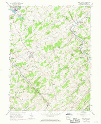
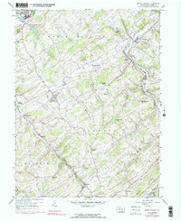
1953 Map of Seven Valleys
USGS Topo · Published 1969About this map
Seven Valleys and Spring Grove anchor this 1953 landscape, which was updated in the late 1960s to reflect the evolving rail and road networks of southern York County. The rugged terrain, characterized by ridges like Saubel Hill and Beecher Hill, is defined by the winding paths of Codorus Creek and its many tributaries. The area served as a significant transportation corridor, with the Penn Central and Western Maryland railroads converging at locations like Hanover Junction and Valley Junction. This map reveals a high density of rural institutions that grounded the local community, including the Zion Shaeffer Union Ch and St Francis Sch. Small, established hamlets such as Seitzville, Jefferson (Codorus PO), and Brodbecks appear amidst the agricultural valleys, offering a clear view of the settlement patterns before modern suburban expansion began to significantly alter the county's character.
Find a feature on this map
54 named features on this map. Tap any name to fly to it.
Don’t see what you’re looking for? This feature index may not catch every label — zoom into the map to look around manually.
Map Details
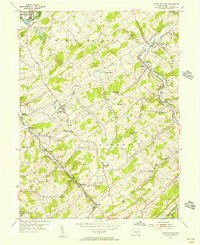
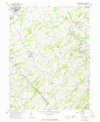
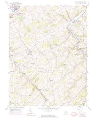
Editions of this 1953 Seven Valleys Map
5 editions found
Other maps of this area

1900 · Parkton
USGS Topo · 1:62,500

1902 · Parkton
USGS Topo · 1:62,500

1905 · Westminster
USGS Topo · 1:62,500

1908 · York
USGS Topo · 1:62,500

1910 · York
USGS Topo · 1:62,500

1920 · Hanover
USGS Topo · 1:62,500

1922 · Hanover
USGS Topo · 1:62,500

1944 · New Freedom
USGS Topo · 1:31,680

1944 · Manchester
USGS Topo · 1:31,680

1944 · Lineboro
USGS Topo · 1:31,680