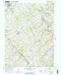
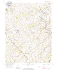
1953 Map of Seven Valleys
USGS Topo · Published 1981About this map
The South Branch Codorus Creek valley serves as a primary corridor for transportation and settlement in this portion of York County. The Penn Central line threads through the narrow valley floor, connecting the community of Seven Valleys with established stops at Hanover Junction, Seitzville, and Larue. This rail-reliant geography contrasts with the upland ridges where crossroads communities like Jefferson (Codorus P O) and Sinsheim are positioned along the drainage divides.
Find a feature on this map
46 named features on this map. Tap any name to fly to it.
Don’t see what you’re looking for? This feature index may not catch every label — zoom into the map to look around manually.
Map Details
Editions of this 1953 Seven Valleys Map
5 editions found
Other maps of this area

1900 · Parkton
USGS Topo · 1:62,500

1902 · Parkton
USGS Topo · 1:62,500

1905 · Westminster
USGS Topo · 1:62,500

1908 · York
USGS Topo · 1:62,500

1910 · York
USGS Topo · 1:62,500

1920 · Hanover
USGS Topo · 1:62,500

1922 · Hanover
USGS Topo · 1:62,500

1944 · New Freedom
USGS Topo · 1:31,680

1944 · Manchester
USGS Topo · 1:31,680

1944 · Lineboro
USGS Topo · 1:31,680