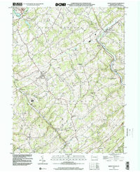
1999 Map of Seven Valleys
USGS Topo · Published 2002About this map
Seven Valleys and the surrounding townships of North Codorus and Springfield define a landscape shaped by the winding valleys of Codorus Creek and its many branches. This region in York County serves as a vital corridor for transportation and water resources, evidenced by the convergence of rail-influenced settlements like Hanover Junction, Seitzville, and Valley Junction. The terrain is characterized by prominent ridges such as Dug Hill Ridge and Saubel Hill, which separate fertile agricultural basins like Buffalo Valley. Local community life is anchored by traditional landmarks, including Zion Shaeffer Union Ch and St Jacobs Ch, alongside smaller crossroads such as Brodbecks and Sinsheim. The presence of the Sewage Treatment Plant near Spring Grove and various named store locations like Bowmans Store points to the continued functional and commercial evolution of these rural Pennsylvania valleys at the close of the century.
Find a feature on this map
46 named features on this map. Tap any name to fly to it.
Don’t see what you’re looking for? This feature index may not catch every label — zoom into the map to look around manually.
Map Details
Editions of this 1999 Seven Valleys Map
This is the sole edition of this map. No revisions or reprints were ever made.
Other maps of this area

1900 · Parkton
USGS Topo · 1:62,500

1902 · Parkton
USGS Topo · 1:62,500

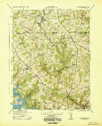
1905 · Westminster
USGS Topo · 1:62,500

1908 · York
USGS Topo · 1:62,500

1910 · York
USGS Topo · 1:62,500

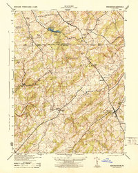
1920 · Hanover
USGS Topo · 1:62,500

1922 · Hanover
USGS Topo · 1:62,500
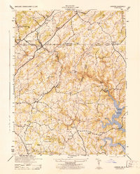
1944 · New Freedom
USGS Topo · 1:31,680
1944 · Manchester
USGS Topo · 1:31,680
1944 · Lineboro
USGS Topo · 1:31,680