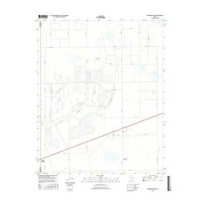
2016 Map of Sevenmile Basin
USGS Topo · Published 2016About this map
Saint Francis sits at the southwestern edge of this High Plains landscape where the border between Potter and Carson counties meets. This area of the Texas Panhandle is characterized by large-scale agricultural and industrial infrastructure, evidenced by the intricate network of county roads and specialized routes like Ranch Rd 293 and Fm 2373. The terrain is punctuated by significant depressions and ephemeral water bodies, most notably the namesake Sevenmile Basin in the south and Pantex Lake in the northeast.
Find a feature on this map
32 named features on this map. Tap any name to fly to it.
Don’t see what you’re looking for? This feature index may not catch every label — zoom into the map to look around manually.
Map Details
Editions of this 2016 Sevenmile Basin Map
This is the sole edition of this map. No revisions or reprints were ever made.
Other maps of this area

1953 · Mayer
USGS Topo · 1:24,000

1953 · Pomeroy
USGS Topo · 1:24,000

1953 · Berry Sand Draw
USGS Topo · 1:24,000

1953 · Sevenmile Basin
USGS Topo · 1:24,000

1954 · Amarillo
USGS Topo · 1:250,000

1956 · Washburn
USGS Topo · 1:24,000

1956 · Pullman
USGS Topo · 1:24,000

1958 · Amarillo
USGS Topo · 1:250,000

1960 · Claude
USGS Topo · 1:62,500

1965 · Abell
USGS Topo · 1:24,000