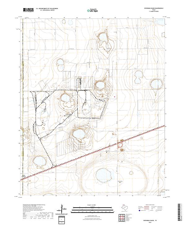
2022 Map of Sevenmile Basin
USGS Topo · Published 2022About this map
Saint Francis sits on the western edge of this 2022 survey, marking the transition between the agricultural plains and the distinct geological depressions of the Panhandle. The landscape is dominated by the Sevenmile Basin, a large natural playa typical of the region, and the nearby Pantex Lake to the northeast. These features highlight the unique hydrology of the High Plains, where drainage is internalized into such basins rather than flowing to distant rivers.
Find a feature on this map
30 named features on this map. Tap any name to fly to it.
Don’t see what you’re looking for? This feature index may not catch every label — zoom into the map to look around manually.
Map Details
Editions of this 2022 Sevenmile Basin Map
This is the sole edition of this map. No revisions or reprints were ever made.
Other maps of this area

1953 · Mayer
USGS Topo · 1:24,000

1953 · Pomeroy
USGS Topo · 1:24,000

1953 · Berry Sand Draw
USGS Topo · 1:24,000

1953 · Sevenmile Basin
USGS Topo · 1:24,000

1954 · Amarillo
USGS Topo · 1:250,000

1956 · Washburn
USGS Topo · 1:24,000

1956 · Pullman
USGS Topo · 1:24,000

1958 · Amarillo
USGS Topo · 1:250,000

1960 · Claude
USGS Topo · 1:62,500

1965 · Abell
USGS Topo · 1:24,000