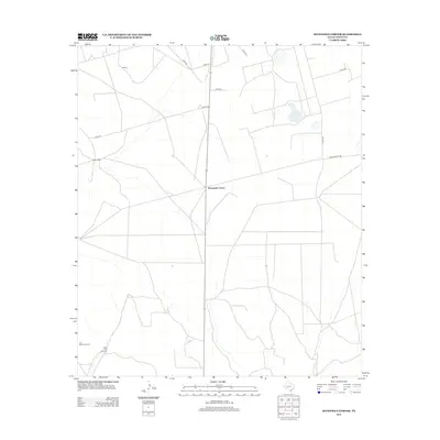
2012 Map of Sevenmile Corner
USGS Topo · Published 2012About this map
Sevenmile Corner serves as the central junction of this arid West Texas landscape, where Hwy-329 meets local ranch routes. The map illustrates a region defined by extensive land holdings and sparse settlements, typical of the Permian Basin's livestock and resource-driven economy. Named ranching landmarks like Tippett Ranch and the small community of Upland stand out against the geometric grid of county roads. Further south, the reliance on groundwater for remote operations is evidenced by specific infrastructure like the Joe Bailey Windmill and Duke Hill Windmill. This 2012 survey provides a detailed view of how the modern transportation network, including Ranch Road 1555, has been overlaid on traditional ranching territories, offering a clear record of land use and property divisions in Upton County.
Find a feature on this map
14 named features on this map. Tap any name to fly to it.
Don’t see what you’re looking for? This feature index may not catch every label — zoom into the map to look around manually.
Map Details
Editions of this 2012 Sevenmile Corner Map
This is the sole edition of this map. No revisions or reprints were ever made.
Other maps of this area

1928 · Crane
USGS Topo · 1:125,000

1928 · Rankin
USGS Topo · 1:125,000

1954 · Pecos
USGS Topo · 1:250,000

1954 · San Angelo
USGS Topo · 1:250,000

1957 · Pecos
USGS Topo · 1:250,000

1958 · San Angelo
USGS Topo · 1:250,000

1965 · San Angelo
USGS Topo · 1:250,000

1970 · Sevenmile Corner NE
USGS Topo · 1:24,000

1970 · Lindsey Ranch
USGS Topo · 1:24,000

1970 · Sevenmile Corner SE
USGS Topo · 1:24,000