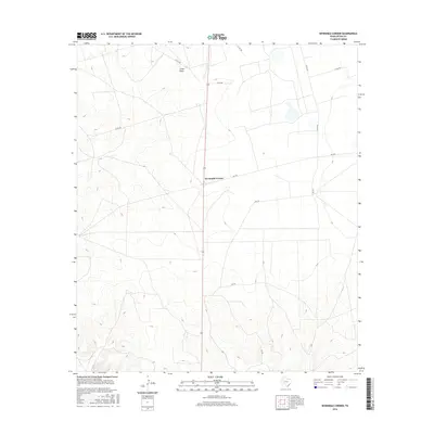
2016 Map of Sevenmile Corner
USGS Topo · Published 2016About this map
Sevenmile Corner serves as the central junction for this West Texas landscape, where modern transportation corridors intersect across the high plains of Upton County. The terrain is defined by the subtle drainage patterns of China Draw in the north, while the southern portion of the map shows increasingly complex topographic contours as the land breaks toward the edges of the Edwards Plateau. This 2016 survey documents the network of county roads, including Co Rd 107 and Co Rd 106, that provide access to this rural ranching country. The presence of Fm 1555 underscores the connection between these remote crossings and the regional highway system. For researchers, the map provides a precise record of land use and road development in a region shaped by both its agricultural roots and the underlying geography of the Permian Basin.
Find a feature on this map
10 named features on this map. Tap any name to fly to it.
Don’t see what you’re looking for? This feature index may not catch every label — zoom into the map to look around manually.
Map Details
Editions of this 2016 Sevenmile Corner Map
This is the sole edition of this map. No revisions or reprints were ever made.
Other maps of this area

1928 · Crane
USGS Topo · 1:125,000

1928 · Rankin
USGS Topo · 1:125,000

1954 · Pecos
USGS Topo · 1:250,000

1954 · San Angelo
USGS Topo · 1:250,000

1957 · Pecos
USGS Topo · 1:250,000

1958 · San Angelo
USGS Topo · 1:250,000

1965 · San Angelo
USGS Topo · 1:250,000

1970 · Sevenmile Corner NE
USGS Topo · 1:24,000

1970 · Lindsey Ranch
USGS Topo · 1:24,000

1970 · Sevenmile Corner SE
USGS Topo · 1:24,000