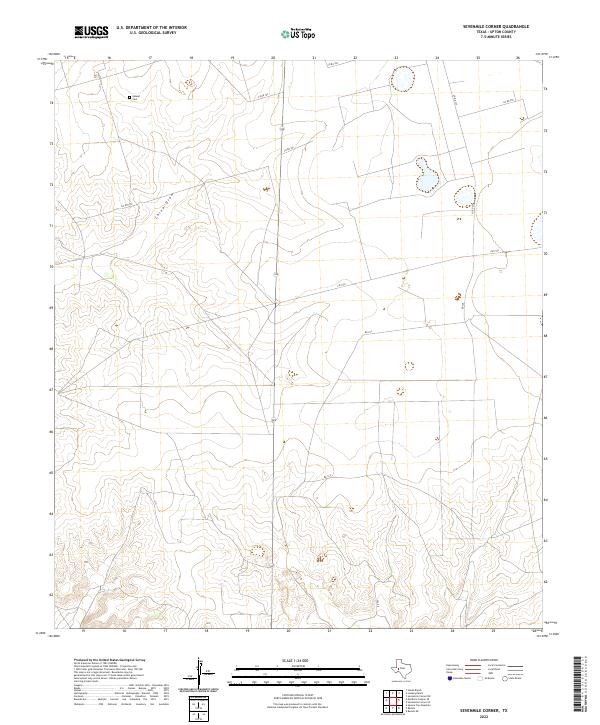
2022 Map of Sevenmile Corner
USGS Topo · Published 2022About this map
Upland Cem stands as a quiet focal point in the northwest corner of this West Texas landscape, a region defined by the expansive ranching and oil-producing terrain of Upton County. The map details a network of rural transit lines, including FM 1555 and a series of county roads like Co RD 106 and Co RD 107 that traverse the high plains. Natural drainage patterns are dominated by China Draw, which cuts a seasonal path across the northern reaches of the quadrangle. This 2022 survey illustrates the modern configuration of property boundaries and local infrastructure, where long-established landmarks like the cemetery remain key markers for genealogists and local historians tracing the heritage of this sparsely populated cattle and energy country.
Find a feature on this map
10 named features on this map. Tap any name to fly to it.
Don’t see what you’re looking for? This feature index may not catch every label — zoom into the map to look around manually.
Map Details
Editions of this 2022 Sevenmile Corner Map
This is the sole edition of this map. No revisions or reprints were ever made.
Other maps of this area

1928 · Crane
USGS Topo · 1:125,000

1928 · Rankin
USGS Topo · 1:125,000

1954 · Pecos
USGS Topo · 1:250,000

1954 · San Angelo
USGS Topo · 1:250,000

1957 · Pecos
USGS Topo · 1:250,000

1958 · San Angelo
USGS Topo · 1:250,000

1965 · San Angelo
USGS Topo · 1:250,000

1970 · Sevenmile Corner NE
USGS Topo · 1:24,000

1970 · Lindsey Ranch
USGS Topo · 1:24,000

1970 · Sevenmile Corner SE
USGS Topo · 1:24,000