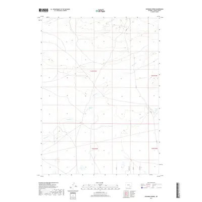
2017 Map of Sevenmile Spring
USGS Topo · Published 2017About this map
Sevenmile Spring and Boswell Spring serve as critical water points in this high-altitude landscape of Albany County. The terrain is defined by the drainage patterns of Sevenmile Cr and Spring Cr, which move across a primarily open range. Unlike the vast wilderness often associated with the region, the southern portion of this map reveals a structured grid of residential access roads, including Ash Way, Redwood Way, and Willow Way. This development pattern suggests a modern transition toward rural residential plots or ranch subdivisions, even as the landscape remains dominated by the township and range survey lines of T23N and T22N. The alignment of Co RD 61 provides the primary north-south artery through this portion of the Wyoming high plains, connecting the isolated springs to the broader county infrastructure.
Find a feature on this map
13 named features on this map. Tap any name to fly to it.
Don’t see what you’re looking for? This feature index may not catch every label — zoom into the map to look around manually.
Map Details
Editions of this 2017 Sevenmile Spring Map
This is the sole edition of this map. No revisions or reprints were ever made.
Other maps of this area

1954 · Torrington
USGS Topo · 1:250,000

1954 · Cheyenne
USGS Topo · 1:250,000

1955 · Pine Tree Ridge
USGS Topo · 1:24,000

1955 · Mc Gill Lakes
USGS Topo · 1:24,000

1955 · Sevenmile Spring
USGS Topo · 1:24,000

1955 · Ayres Spring
USGS Topo · 1:24,000

1955 · Cannonball Cut
USGS Topo · 1:24,000

1955 · Wilcox
USGS Topo · 1:24,000

1958 · Cheyenne
USGS Topo · 1:250,000

1958 · Torrington
USGS Topo · 1:250,000